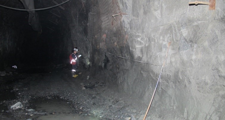
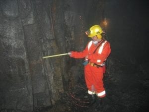
Geotechnical mapping is the collection of data (geological and structural) from exposed rock surfaces such as working faces, areas exposed during boring/tunnelling operations, and naturally occurring outcrops, etc. The purpose of a geotechnical mapping exercise is to gain an understanding of the ground conditions and rock mass characteristics at a site.
 Geotechnical mapping for mining projects should be implemented during early development (when outcrops or excavations become available for observation) and continued routinely over the life of the project. Geotechnical mapping data is directly applicable to rock mass characterization and parameterization, slope design, excavation sizing and the design of ground support systems. Over the course of a mine life, geotechnical data collection should be ongoing and is used to confirm rock mass quality and verify design assumptions. The collection, amalgamation and interpretation of good-quality geotechnical mapping data can allow for design optimization and assist in predicting expected ground behaviour – which can result in operational cost savings and improvement to safety.
Like geotechnical core logging, geotechnical mapping puts a greater emphasis on rock fractures and conditions than geological logging alone. General conditions of the overall rock mass (weathering, fracture frequency, RQD, etc.) are required, as well as the conditions of the fractures noted within the core (type, location, orientation, surface conditions, infill material etc.). Geotechnical mapping provides valuable data pertaining to fracture persistence and continuity. Geotechnical mapping must be performed by competent people who have the expertise and experience to provide the kind of focused effort and attention to detail that are essential for the production of accurate, high-quality data.
At RockEng, we provide top-tier, in-house expertise in geotechnical mapping processes and procedures. RockEng personnel are able to perform geotechnical mapping exercises to extremely high standards, enhancing the planning and operation of any mine. We also provide training and supervision for planning and implementation of geotechnical mapping programs.
Contact us now to find out more about the geotechnical mapping services we provide.